 vesseltracker.com
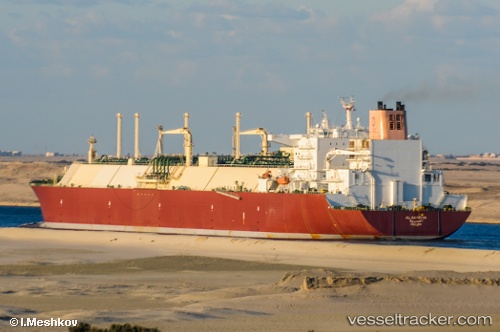
Find the position of the vessel Al Samriya on the map. The latter are known coordinates and path.
marine traffic ship tracker show on live map
The current position of vessel Al Samriya is 25.80801 lat / 51.81050 lng. Updated: 2025-11-14 04:13:25 UTCCurrently sailing under the flag of Marshall Is
Al Samriya built in 2009 year
Deadweight:
154900 tDetails:
Last coordinates of the vessel:
UTC, 25.80662, 51.80931, course: 328, speed: 0UTC, 25.80712, 51.80996, course: 312, speed: 0
UTC, 25.80750, 51.81025, course: 303, speed: 0
2025-11-14 04:13:25 UTC, 25.80801, 51.81050, course: 291, speed: 0
Track of the vessel in the last 14 days
The ship also appears on the maps: